
Garmin ECHOMAP™ Ultra 126sv Without Transducer
Model: 010-02114-00
- 12″ keyed-assist touchscreen combo with built-in support for our premium sonar capabilities, including the Panoptix LiveScope™ scanning sonar system
- Preloaded with Garmin exclusive BlueChart® g3 coastal charts and LakeVü g3 inland maps — both with integrated Navionics® data and Auto Guidance1 technology
- Share sonar, waypoints and routes with other ECHOMAP Ultra 10″ and 12″ units as well as ECHOMAP Plus 7″ and 9″ units
- Built-in Quickdraw Contours mapping software instantly creates personalized fishing maps on-screen with 1’ contours as you fish
- Built-in Wi-Fi® connectivity pairs with the free ActiveCaptain® app
- NMEA 2000® connectivity and support for heading sensors, autopilots, digital switching, weather, FUSION-Link™ audio system and more
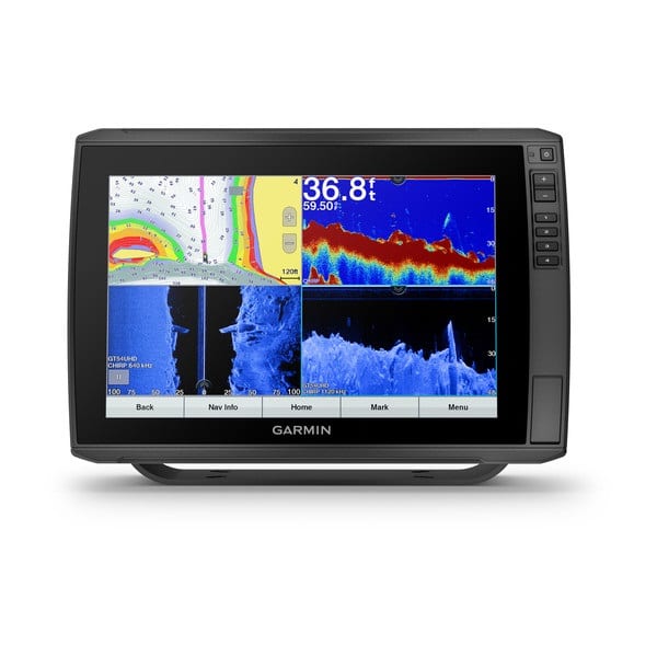
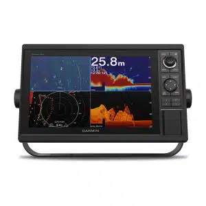
The ECHOMAP Ultra 126sv combo, with its bright, sunlight-readable 12″ keyed-assist touchscreen display, has all the fishing tools you need. It includes built-in support for our premium Garmin sonars and preloaded BlueChart g3 coastal charts and LakeVü g3 inland maps — both with integrated Navionics data and Auto Guidance1 technology. All transducers are sold separately.
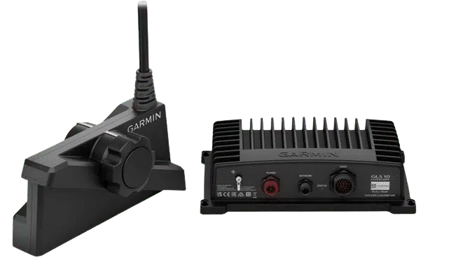
The ECHOMAP Ultra 126sv combo includes built-in support for traditional CHIRP, CHIRP ClearVü and CHIRP SideVü scanning sonars, Ultra High-Definition scanning sonar and Panoptix LiveScope LVS12 sonar (no black boxes required) plus the full line of Panoptix™ all-seeing sonar transducers. It also supports the Panoptix LiveScope system.
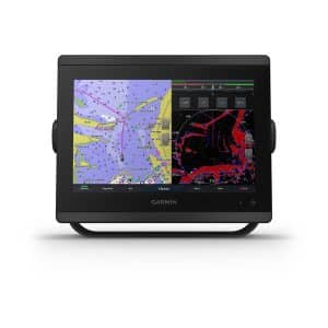
It comes preloaded with BlueChart g3 coastal charts and LakeVü g3 inland maps — both with integrated Navionics data and Auto Guidance technology that uses your desired depth and overhead clearance to easily calculate routes and see a suggested path to follow.
Instantly create personalized fishing maps on-screen with 1’ contours as you fish. Tailor them to fit your needs. These are your maps — you own them. Keep the data to yourself, or share it with the Quickdraw Community on Garmin Connect™, our online community.
Upgrade the preloaded BlueChart g3 charts and LakeVü g3 maps to optional premium BlueChart g3 Vision charts and LakeVü g3 Ultra maps. These add features such as elevation shading of bottom structure — which provides more 3-D relief than contours alone — satellite imagery and more.
Have more than one unit? You can share sonar, waypoints and routes with other ECHOMAP Ultra 10″ and 12″ units as well as ECHOMAP Plus 7″ and 9″ units.
Built in Wi-Fi gives you access to the free all-in-one ActiveCaptain app, so you can manage your marine experience from nearly anywhere. It creates a simple yet powerful connection between your compatible mobile device and your Garmin chartplotter, charts, maps and the boating community. Wherever you are, you’ll have unlimited access to your cartography, the ability to purchase new maps and charts and access to the Garmin Quickdraw™ Contours Community. Stay connected with smart notifications on your chartplotter screen. You can also plan a trip or prefish a lake, and ActiveCaptain will automatically sync with your chartplotter. Even get notifications for software updates, and decide when to download them on your device.
When you’re off the water, it’s easy to keep your ECHOMAP Ultra combo safe and secure. You don’t have to mess with plugging and unplugging wires from the unit, because the cords plug directly into the quick-disconnect bail mount. This allows you to quickly install and remove your ECHOMAP Ultra from power and the mount.
Specifications
| General | |
| Physical dimensions | 13.4″” x 9.0″” x 3.9″” (341 x 229 x 98 mm) |
| Display size | 10.3″ x 6.4″; 12.1″” diagonal (26.1 cm x 16.3 cm; 30.7 cm diagonal) |
| Display resolution | 1280 x 800 pixels |
| Display type | WXGA display |
| Weight | 5.5 lbs (2.5 kg) |
| Water rating | IPX7 |
| Polarized Support | Yes |
| Power consumption | 26 W |
| Antenna | Internal only |
| Mounting options | Bail or flush |
| Receiver | 10 Hz |
| Garmin Marine Network™ ports | 2 (large connector) |
| Maps & Memory | |
| Accepts data cards | 2 microSD™ cards |
| Waypoints | 5,000 |
| Routes | 100 |
| Track log | 50,000 points; 50 saved tracks |
| Preloaded maps | BlueChart® g3 (U.S. and Western Canada coastal maps) and LakeVü g3 (inland maps) |
| Outdoor Recreation Features | |
| Tide tables | Yes |
| Chartplotter Features | |
| Supports AIS (tracks target ships position) | Yes |
| Supports DSC (displays position data from DSC-capable VHF radio) | Yes |
| Supports FUSION-Link™ compatible radios | Yes |
| GCV™ Black Box sonar support | Yes |
| ActiveCaptain compatible | Yes |
| Sailing Features | Yes |
| Garmin Sonar compatible | Yes |
| Sonar Features & Specifications | |
| Sonar history rewind | Yes |
| Transmit power | 500 W (RMS) / 4,000 W (peak to peak) |
| CHIRP sonar technology | Yes (Built-in) |
| ClearVü | Yes |
| SideVü | Yes |
| Maximum depth | 2,300 ft @ 77 kHz, freshwater 1,100 ft @ 77 kHz, saltwater (depth capacity is dependent on water bottom type and other water conditions) |
| Bottom lock (shows return from the bottom up) | Yes |
| Water temperature log and graph | Yes |
| Sonar recording | Yes |
| Dual-frequency (50/200 kHz) sonar capable | Yes |
| Dual-beam (77/200 kHz) sonar capable | Yes |
| Connections | |
| Transducer pin numbers | 12 |
| NMEA 0183 input ports | 1 |
| NMEA 0183 output ports | 1 |
| Wireless connectivity | Yes |
| NMEA 2000® compatible | Yes |
What’s in the Box:
- ECHOMAP Ultra 126sv with BlueChart g3 and LakeVü g3 for U.S.
- Power/data cable
- Tilt mount with quick release cradle
- Flush mount
- Protective cover
- Hardware
- Documentation
- 8-pin transducer to 12-pin sounder adapter cable



Reviews
There are no reviews yet.